Winter’s Fierce Grip: Heavy Snow and Bitter Cold Blanket St. Louis
A City Under White: The Sunday Forecast
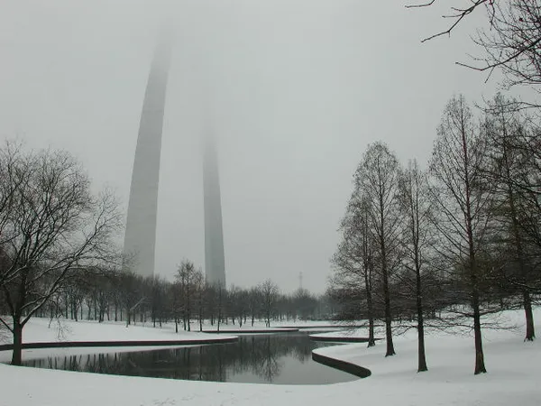
St. Louis remains in the crosshairs of a major winter weather event this Sunday, January 25, 2026. Residents waking up today will find the city transformed by a significant accumulation of snow, with a Winter Storm Warning remaining in effect through the early evening. After a night of heavy precipitation, the region is now bracing for a combination of continued snowfall and dangerously low temperatures that will make travel nearly impossible for most of the day.
Morning: Heavy Snow and Hazardous Roads
The morning hours will see the most intense activity of the day. While the heaviest bands of snow are expected to wane just before sunrise, moderate snowfall will persist through the mid-morning. Forecasters expect an additional 1 to 5 inches of dry, powdery snow to fall before noon, adding to the several inches already on the ground. Temperatures will hover in the single digits, making the snow particularly light and susceptible to drifting.
- Current Temperature: 8°F to 10°F
- Wind: North winds at 10-15 mph, gusting up to 25 mph.
- Visibility: Reduced to less than half a mile at times due to blowing snow.
Afternoon: Tapering Snowfall but Rising Danger
As we move into the afternoon, the snow is predicted to taper off from northwest to southeast. Most of the accumulation should conclude by late afternoon, approximately 4:00 PM to 6:00 PM. However, the end of the snowfall does not mean an end to the hazards. The high temperature for the day is expected to reach only 13°F or 14°F. These frigid levels mean that road treatments like salt may be less effective, and any cleared surfaces could quickly refreeze.
Evening and Overnight: The Extreme Cold Arrives
The primary concern for Sunday evening shifts from precipitation to life-threatening cold. Skies are expected to clear after sunset, allowing the mercury to plummet. Low temperatures tonight are forecast to drop between -2°F and -5°F. A Cold Weather Advisory and Extreme Cold Warning have been issued for the overnight hours into Monday morning as wind chills are expected to reach a brutal -15°F to -20°F.
Safety Alerts and Notices
City officials and the National Weather Service have issued the following alerts for the St. Louis metropolitan area:
- Winter Storm Warning: Remains in effect until 6:00 PM CST. Total storm accumulations of 5 to 10 inches are likely.
- Extreme Cold Warning: Effective from Sunday night through Monday morning. Exposure to the outdoors should be limited to prevent frostbite.
- Travel Impact: Travel is strongly discouraged. If you must venture out, authorities recommend keeping an emergency kit with blankets, flashlights, and water in your vehicle.