Sunlight and Softening Snow: St. Louis Welcomes a Mid-February Thaw
Morning: A Crisp and Quiet Start
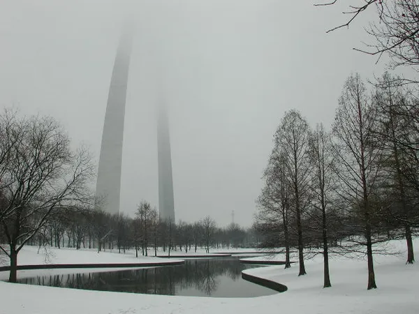
St. Louis residents woke up to a classic winter morning this Thursday, February 12, with temperatures across the metro area hovering around a brisk 34 degrees. Despite the early chill, the atmosphere remained remarkably calm, with gentle winds and a pale winter sky stretching over the Mississippi River. Early commuters likely noticed a quiet, still start to the day, though side streets and neighborhood walkways remained cold underfoot. While major highways appeared clear, some damp patches from earlier snowmelt were present, necessitating a bit of caution on shaded pavement before the sun began its climb.
Afternoon: The February Thaw Takes Hold
As the day progresses, a significant "February Thaw" is building across the region. Clouds are expected to decrease throughout the midday hours, allowing sunshine to take over and push afternoon high temperatures to a comfortable 54 degrees. This jump in temperature provides a welcome reprieve from typical mid-February conditions and will effectively melt away remaining snow piles in yards and along city curbs. The mild weather makes it an ideal afternoon for outdoor activities or errands that were previously sidelined by the winter cold. The air will feel more like the very beginnings of spring than the heart of February, though the ground remains cool from the season's recent freezes.
Evening: Clear Skies and Refreeze Potential
The pleasant conditions are expected to hold steady through sunset, but the absence of cloud cover tonight will allow temperatures to drop relatively quickly. By late evening and into the overnight hours, the mercury is forecasted to fall back to near 34 degrees. Because temperatures will sit right at the freezing mark, the moisture from the afternoon's melting snow could present a minor hazard. Any standing water on untreated surfaces may refreeze, creating isolated slick spots for those traveling late at night or early Friday morning.
Travel Advisories and Weekend Outlook
While no major weather warnings or rain alerts are in effect for today, the St. Louis News weather desk advises residents to keep the following in mind:
- Watch for Shaded Ramps: Drivers on I-64, I-44, and the Poplar Street Bridge should remain alert for slick spots on shaded ramps and overpasses during the late evening refreeze.
- Friday Warm-Up: The thaw is set to continue into Friday, with even milder temperatures reaching near 59 degrees under bright sunshine.
- Weekend Rain Alert: Enjoy the dry weather today and tomorrow, as a significant system is expected to bring widespread rain and thicker clouds to the area by Saturday afternoon.