Sub-Zero Stinger: St. Louis Faces Extreme Cold Warning as Temperatures Dive
St. Louis Shivers Under Extreme Cold Warning
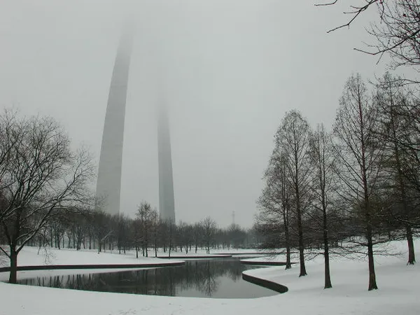
Residents of St. Louis woke up to a brutal chill this Tuesday, January 27, 2026, as an Extreme Cold Warning remains in effect for the metro area. While the sun is making a bright appearance today, the mercury tells a far more dangerous story. Early morning temperatures in the city hovered around 18°F, but biting winds from the northwest made it feel closer to a bone-chilling 5°F for the early morning commute.
Morning: Frosty Skies and Frigid Air
The morning began with clear, sunny skies, offering a deceptive sense of warmth to those looking out from indoors. Despite the lack of heavy cloud cover, the region remains trapped in a deep freeze following recent winter storm activity. For those heading out early, humidity levels around 65% to 70% have added a sharp crispness to the air that can cause frostbite on exposed skin within a short window of time. Local officials have urged commuters to layer up and check on vulnerable neighbors as the region grapples with some of the coldest air recorded this season.
Afternoon: A Brief Peak Before the Plunge
By mid-afternoon, St. Louis is expected to hit its daily high, though 'high' is a relative term in these conditions. Temperatures are forecast to reach approximately 28°F to 31°F. Although some light snow flurries remain a possibility—with a 5% to 10% chance throughout the day—the primary story is the continued sunshine. These bright conditions may help melt some of the ice on secondary roads, but as the sun begins to set, the real danger of flash freezing and extreme lows begins.
Evening and Overnight: Diving into the Negatives
The evening forecast calls for a rapid and significant temperature drop. As clear skies continue into the night, the lack of a 'cloud blanket' will allow what little heat the ground absorbed during the day to escape the atmosphere quickly. Overnight lows are predicted to plummet to between 0°F and -2°F. This secondary drop triggers the most hazardous portion of the current weather alert, as wind chills could reach dangerous levels by early Wednesday morning.
Weather Summary and Safety Tips
- High Temperature: 31°F
- Low Temperature: -2°F
- Wind Chill: As low as 5°F during the day, potentially dropping lower overnight.
- Precipitation: Mostly clear with a minimal 5% chance of light snow flurries.
- Alerts: Extreme Cold Warning active; caution is advised for all outdoor activities.
With sub-zero temperatures looming tonight, residents are encouraged to remember the 'Three Ps': protect people, protect pets, and protect pipes. Ensure your home's heating system is functioning correctly and keep a winter emergency kit in your vehicle if travel is absolutely necessary after dark.