St. Louis musician uses AI images to spotlight reinvestment gaps and civic visions for neighborhoods
A musician’s images spark a wider conversation about what St. Louis could look like
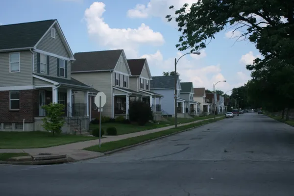
A set of AI-generated images depicting a cleaner, greener and more transit-accessible St. Louis region has drawn broad attention online and renewed discussion about how the city invests in neighborhoods north of downtown and across the Mississippi River.
The images were created by Kasimu Taylor, a St. Louis musician who hosts weekly Thursday-night jam sessions at the National Blues Museum downtown. Taylor used Google’s Gemini tool to generate visualizations of East St. Louis, the area north of downtown, and a corridor along North Grand, portraying tree-lined streets, active sidewalks and easier public-transit connections with the Gateway Arch in view.
From personal history to public imagery
Taylor, 52, has described growing up on the city’s north side amid long-standing vacancy and blight, and later living in the College Hill area near the Grand Avenue Water Tower, where he recalls a neighborhood commercial mix that included grocery stores and small businesses. He said that over time, many of those amenities disappeared—experiences that shaped his interest in how neighborhoods change and what it would take to rebuild them.
After posting the images on social media, Taylor said they were widely shared and discussed, suggesting a strong appetite for visual, concrete depictions of reinvestment—especially in places where residents have long argued that progress has been uneven.
The AI visuals, Taylor said, were intended as a prompt for civic imagination rather than a final plan.
Parallel developments: major projects and persistent questions
The timing intersects with significant public and civic initiatives. In north St. Louis, the National Geospatial-Intelligence Agency has opened its new campus at Jefferson and Cass, with the workforce transition expected to run through spring 2026. The facility has been positioned by civic leaders as a major federal investment with the potential to anchor broader neighborhood stabilization and development.
At the riverfront, the Gateway Arch Park Foundation has begun exploring what it would take to expand the national park footprint to include Malcolm W. Martin Memorial Park and surrounding areas in East St. Louis. The early stage of the effort is focused on land evaluation, environmental considerations and defining what investment would be required before costs and funding strategies are finalized.
What the images reflect—and what they do not
Urban revitalization efforts typically hinge on factors that extend beyond design renderings: land control, environmental remediation, long-term operating funding, safety strategies, transit service, and the timeline for private investment to follow public infrastructure upgrades.
- AI images can quickly illustrate potential streetscapes and public spaces.
- Implementation depends on project governance, financing, and community-driven priorities.
- Equitable outcomes require measurable commitments to housing stability and local economic opportunity.
For now, Taylor’s images have functioned as a widely shared visual vocabulary for a familiar local debate: how to translate major headline projects into neighborhood-level change that residents can see, use and trust over time.