Single-Digit Slump: St. Louis Faces Bitter Cold and Evening Snow
A Bitter Morning in the Gateway City
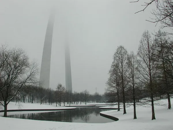
St. Louis residents woke up to a bone-chilling Thursday as the region remains locked in a deep freeze following the significant winter storm earlier this week. As of the early morning hours on January 29, temperatures at Lambert International and Downtown-Parks Airport hovered near 21°F, with wind chills making the air feel closer to 12°F. Early commuters were met with visibility challenges due to freezing fog, a lingering effect of the heavy snowpack and high humidity levels near the riverfront.
Afternoon Outlook: Increasing Clouds and Light Snow
As we move into the afternoon, the cloud cover is expected to thicken significantly across the metro area. While the high temperature for today is projected to reach only 26°F, the actual feel will remain much lower due to moderate northwest winds sustained at 14 mph. The National Weather Service has updated its short-term forecast to include a chance of light snow showers beginning mid-to-late afternoon. While this is not expected to be a major accumulation event, a narrow corridor of moisture could drop up to one inch of fresh snow across parts of the city and surrounding counties, potentially impacting the evening commute.
Evening Descent into Frigid Conditions
Once the sun sets, the mercury will begin a sharp and dangerous descent. Evening temperatures are forecasted to drop into the teens, eventually bottoming out near 0°F in the overnight hours. Any light snow that manages to accumulate this afternoon will likely stick immediately to pavement and sidewalks, as surface temperatures have remained well below freezing for several days. Residents should be prepared for slick spots on secondary roads and neighborhood streets that are still recovering from the previous weekend's nine-inch snowfall.
Key Weather Alerts and Safety Tips
- Snow Accumulation: A 20% chance of snow showers persists through this evening, with localized accumulations of up to 1 inch possible.
- Extreme Wind Chill: North-northwest winds will keep wind chill values in the single digits throughout the evening, dropping toward -10°F by dawn.
- Travel Caution: Freezing fog and afternoon flurries may create rapidly changing visibility. Drivers are urged to maintain extra following distance.
- Pet Safety: With overnight lows near zero, ensure all pets are brought indoors and have adequate protection from the arctic air.
Looking Ahead: An Arctic Weekend
Today's frigid conditions serve as a precursor to even harsher weather arriving tomorrow. A renewed push of arctic air behind a secondary cold front on Friday is expected to bring widespread wind chill values between -15°F and -20°F through Sunday morning. For today, keep the heavy winter gear at the ready and stay tuned to local updates as the light snow develops this evening.