Frozen Gateway: Extreme Cold and Snow Cleanup Dominate Monday in St. Louis
St. Louis Braces for Dangerous Freeze Under State of Emergency
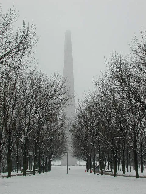
St. Louis residents are waking up to a city transformed by a significant winter weather event this Monday, January 26, 2026. Following a weekend that brought over 12 inches of snow to the region, the metropolitan area is now grappling with dangerously low temperatures and an ongoing cleanup effort. Mayor Cara Spencer has declared a State of Emergency, providing the city with additional resources to manage the aftermath of the storm and to protect residents from the life-threatening cold that has settled over the Gateway City.
Morning: Dangerous Cold and Lingering Flurries
The early morning hours are characterized by a combination of residual moisture and biting arctic air. According to the National Weather Service, the morning forecast calls for a high probability of lingering snow showers and light flurries through the mid-morning hours. These conditions are expected to make early travel hazardous, though city officials have closed all non-essential government offices for the day. Key morning data includes:
- Temperature Range: Temperatures will start near 1°F, with an expected morning low reaching as far down as -3°F in some areas.
- Wind Chill: Brisk winds will make the air feel like -10°F to -15°F.
- Active Alerts: An Extreme Cold Warning is in effect until 12:00 PM today. Additionally, Level 4 Code Blue Shelter Protocols are active until 9:00 AM to ensure safety for the unhoused population.
Afternoon: Bitterly Cold with Clearing Skies
By the afternoon, the cloud cover is expected to break, offering some sunshine as the storm system finally exits the region. However, the sun will provide little relief from the cold. The high temperature for today is forecast to peak at a meager 15°F to 17°F. While the snowfall will cease, the extreme cold poses a challenge for road crews, as traditional salt treatments lose effectiveness at these low temperatures. Residents are advised that even clear-looking pavement may still be significantly slippery due to the deep freeze.
Evening: Clear Skies and a Deep Overnight Freeze
As the sun sets, the temperature is expected to drop rapidly once again. The evening will be marked by clear skies, which will facilitate a process of radiational cooling, pushing overnight temperatures back toward a low of -3°F. With the ground covered in heavy snow, the cold will remain trapped at the surface, ensuring a frigid start to the following day.
Safety Notices and Closures
In light of the State of Emergency, the City of St. Louis urges all residents to limit their time outdoors. Frostbite can occur on exposed skin in less than 30 minutes in these conditions. Non-essential city operations remain suspended today, and trash collection has been delayed to keep heavy vehicles off the ice-coated residential streets. If you must travel, ensure your vehicle is equipped with a winter survival kit, including blankets, water, and a flashlight.