Frosty Skies and Foggy Starts: St. Louis Faces Bitter Cold This Sunday
Morning: Dense Fog and Biting Cold
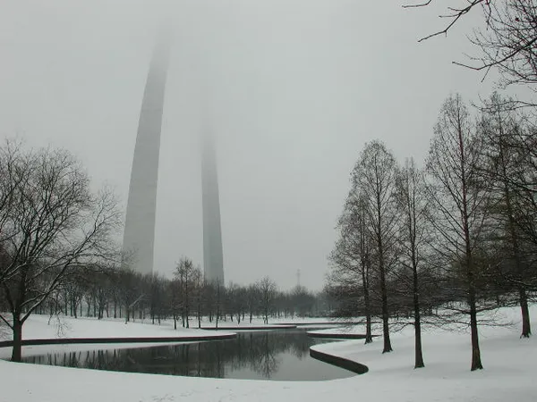
St. Louis residents waking up this Sunday, February 22, 2026, are greeted by a sharp winter chill and hazardous driving conditions. As of 5:00 AM, the temperature stands at a frigid 26°F, though wind chills make it feel more like 16°F. Humidity is currently hovering around 56%, contributing to the development of a dense fog bank. The National Weather Service has noted that this fog, which initially formed over south-central Illinois, is expanding westward into the St. Louis metropolitan area. Drivers are urged to use extra caution, utilize low-beam headlights, and prepare for significantly reduced visibility during the early morning hours.
Afternoon: Sun Without the Warmth
As the fog clears later this morning, the Gateway City will see plenty of sunshine, though it will do little to move the mercury. The projected high for the afternoon is a modest 31°F, which remains nearly 20 degrees below the seasonal average of 48°F. While the skies will be predominantly sunny, there is a slight 10% chance of localized snow flurries as a weak moisture pocket moves through the region. Winds are expected to remain relatively calm at approximately 6 mph, but the lack of significant solar heating means that outdoor activities will require heavy winter gear. Humidity levels will drop to roughly 45% as the day progresses, making for a crisp, dry afternoon.
Evening and Overnight: Temperatures Plummet
Once the sun sets, the clear skies will facilitate rapid radiational cooling. Temperatures are forecast to drop sharply, reaching an overnight low of 17°F. Residents should ensure that pets are brought indoors and that exposed pipes are properly insulated, as the sustained freezing temperatures pose a risk to household infrastructure. The wind will remain light, but the combination of clear skies and sub-20-degree weather will make for a very cold night across the Missouri-Illinois border. Looking ahead to Monday, the trend of sunny but cold weather is expected to continue, with highs remaining in the low 30s.
Emergency Declaration and Safety Notices
Today marks a significant milestone for the city’s winter preparedness. The local state of emergency, originally declared by Mayor Cara Spencer in late January to combat severe winter storm threats, is officially active through today, February 22. While the city has transitioned out of the most dangerous storm phases, the declaration provided essential tools for resource coordination and emergency shelter management. Currently, the city maintains 600 emergency shelter beds to assist the unhoused population during this cold snap. Residents are encouraged to check on elderly neighbors and remain vigilant during the ongoing morning fog advisory. No active rain or wind warnings are in effect beyond the visibility concerns and the standing cold weather precautions.