Frigid Friday: St. Louis Gripped by Arctic Air as Winter Storm Warning Takes Effect
A City in the Deep Freeze
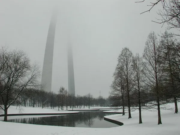
St. Louis is under the firm grip of an intense arctic air mass today, Friday, January 23, 2026. Residents are waking up to some of the most challenging winter conditions of the season. The National Weather Service in St. Louis has officially upgraded the region to a Winter Storm Warning, signaling that today is the critical window for emergency preparation before a major winter storm impacts the area over the coming weekend. Local authorities are urging citizens to treat the current temperature drops with extreme caution.
Morning: Dangerous Wind Chills
The early morning hours have been dominated by a bitter, bone-chilling cold. As of 8:45 AM, the temperature at Lambert-St. Louis International Airport is hovering at a mere 9°F. However, the thermometer only tells half the story; with humidity at 41% and a biting breeze from the north, the wind chill makes it feel like -6°F. Skies remain heavily overcast, and the lack of solar heating is doing little to alleviate the freezing conditions. Anyone heading out for the morning commute is urged to wear multiple layers and limit skin exposure to the wind to prevent frostbite.
Afternoon: Cloud Cover and Light Flurries
Heading into the afternoon, the mercury will struggle to climb, with a predicted high of only 11°F to 14°F. While the bulk of the heavy snowfall is not expected to arrive until early Saturday morning, there is a 50% chance of light snow showers and intermittent flurries throughout the afternoon hours. These early flurries may begin to coat sidewalks and side streets, but they are primarily a precursor to the larger system moving in from the west. Winds are expected to shift toward the northeast at 10 to 20 mph, keeping the "feels-like" temperatures well below zero for the duration of the day.
Evening: Prepping for the Storm
As the sun sets, temperatures will plummet toward a frigid overnight low of 2°F. The National Weather Service notes that while dry air may keep initial snowfall totals light this evening, moisture will rapidly build after midnight. This evening represents the final opportunity for St. Louisans to ensure they have adequate supplies and that their homes are winter-ready. Residents are reminded that at these extreme temperatures, traditional road salt becomes significantly less effective, making any moisture on the pavement a high-risk hazard for drivers.
Official Alerts and Safety Notices
The following alerts are currently active for the St. Louis metropolitan area:
- Winter Storm Warning: In effect for the St. Louis metro and the I-70 corridor. Heavy snowfall and dangerous cold are expected to intensify by Saturday morning.
- Cold Weather Advisory: An area-wide advisory remains in place due to record-low temperatures that pose a significant risk of hypothermia.
- Wind Hazards: Sustained northeast winds of 10-15 mph with gusts reaching 20 mph will continue through the night, contributing to dangerous wind chills.
The next scheduled update from the National Weather Service is expected at 5:00 PM today. Residents are encouraged to monitor local conditions frequently.