Foggy Mornings and Midnight Mix: St. Louis Braces for a Temperamental Wednesday
A Shrouded and Chilly Start
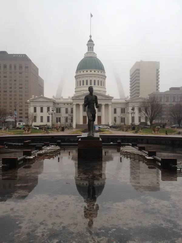
As the sun rises over the Gateway Arch this Wednesday, February 25, 2026, St. Louisans should prepare for a day defined by shifting visibility and a gradual climb in temperature. According to current meteorological observations, the region is starting the day under a blanket of dense fog. This atmospheric layer is particularly thick across the metro area and portions of south-central Illinois, significantly impacting the early morning commute. Drivers on major transit corridors like I-64 and I-70 are advised to use extra caution and low-beam headlights, as visibility may drop below one mile in certain low-lying pockets of the city.
Morning: Navigating the Mist
Temperatures at dawn are hovering in the mid-30s, specifically between 34°F and 36°F. While these numbers are technically above freezing, a high humidity level of approximately 79% ensures that the air retains a sharp, biting chill. The fog is expected to linger through the mid-morning hours, only beginning to dissipate toward 10:00 AM as the region remains locked under mostly cloudy skies. The wind remains light but steady, coming from the north-northwest at roughly 10 mph.
Afternoon: A Brief Window of Mildness
By the afternoon, the heavy cloud cover will persist, but the mercury is set to rise to a much more comfortable range. Forecasts from the National Weather Service and local tracking stations point toward a daily high reaching between 52°F and 55°F. This peak represents a welcome reprieve from the sub-freezing conditions experienced earlier in the week. While the sky will remain overcast, the chance of measurable precipitation during the daylight hours remains low, currently estimated at only about 10%. This afternoon period will be the most stable time for outdoor activities before the next weather system moves into the area.
Evening and Overnight: Drizzle and a Chilly Decline
As evening approaches, the risk of moisture increases significantly. By late tonight, the probability of precipitation rises to 40%. Meteorologists are tracking a band of "patchy rain" that could result in roughly a quarter-inch of moisture across the city. As temperatures dip back toward an overnight low of 34°F, there is a distinct possibility that the evening drizzle could transition into a light rain-snow mix or freezing mist by the early hours of Thursday morning. This transition serves as a precursor to a more significant winter system expected to arrive tomorrow, which may bring heavier precipitation to the Gateway City.
Today’s Forecast at a Glance
- High Temperature: 55°F
- Low Temperature: 34°F
- Humidity: 59% (Average)
- Wind: NNW at 10 to 15 mph
- Precipitation: 10% daytime / 40% evening and overnight
- Sunrise: 6:45 AM | Sunset: 5:46 PM
Umbrellas Out: Rain and Mild Temperatures Take Hold of St. Louis

St. Louis Blues rout Seattle Kraken 5-1 as Dylan Holloway returns with hat trick