Bright Skies and Bitter Bites: St. Louis Braces for Frigid Monday Under Code Blue
Winter Sun and Shivering Temps: A Chilly Start to the Week in St. Louis
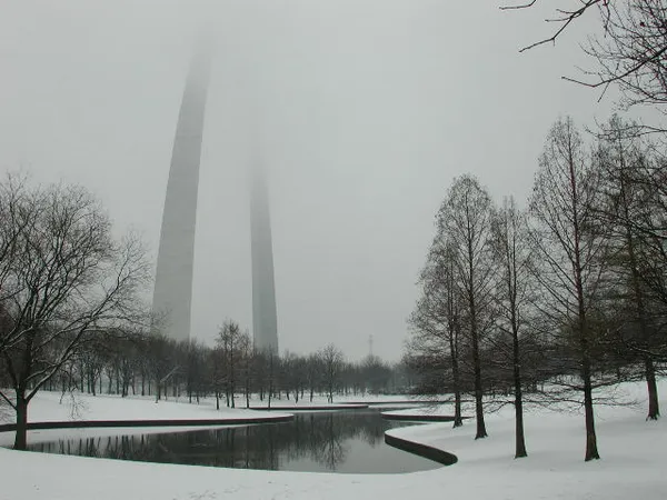
Good morning, St. Louis. As we step into Monday, February 23, 2026, the Gateway City is waking up to a stark reminder that winter is still very much in control. While the skies promise a fair amount of sunshine throughout the day, the primary story for today is the lingering cold that has triggered local safety measures across the metropolitan area.
Morning: Bitter Winds and Bright Skies
The early morning hours are particularly harsh today. Between 6:00 AM and 10:00 AM, temperatures are hovering between a low of 16°F and 21°F. However, the true story is the wind chill. Due to northwest winds blowing steadily at 12 to 14 MPH, the "feels like" temperature is dipping as low as 3°F to 5°F. Residents heading out for the morning commute or waiting at transit stops should ensure they are bundled in heavy layers, as exposed skin will feel the bite of the blustery conditions immediately. Despite the chill, the sky will remain mostly clear with sunny spells dominating the mid-morning hours.
Afternoon: Reaching the Daily High
By midday, the sun will be out in full force, providing a beautiful visual landscape even if the actual warmth remains elusive. Temperatures are expected to climb slowly throughout the afternoon, eventually reaching a daytime high of approximately 33°F by 4:00 PM. While the mercury finally breaks the freezing mark, a continued northwest breeze—though tapering slightly to around 8 to 10 MPH—will keep the air feeling crisp. It is a dry day for outdoor errands with 0% chance of precipitation, though the humidity will remain low at approximately 40%.
Evening and Overnight: Clouds Roll In
As the sun sets, temperatures will begin their descent back into the 20s. We expect the thermometer to read roughly 28°F by early evening, eventually falling to an overnight low of 22°F. The clear skies enjoyed during the day will begin to vanish as cloud cover increases after 10:00 PM. While the chance of precipitation remains very low during the day, some forecast models suggest a stray snow flurry is possible after midnight (approximately a 10% chance) as cloud cover thickens.
Safety Alerts and Looking Ahead
Because of these frigid temperatures and dangerous wind chills, the City of St. Louis has officially activated its "Code Blue" protocols for today. Additional emergency shelters have been opened to provide warmth for those in need, and local officials are urging residents to check on elderly neighbors and keep pets indoors. Looking forward, today serves as the final peak of this specific cold snap; a significant warming trend is projected to begin tomorrow, with temperatures expected to jump into the mid-50s by Tuesday afternoon.