Brace for the Deep Freeze: St. Louis Faces Sub-Zero Wind Chills and Weekend Storm Watch
A Frigid Start to the Final Friday of January
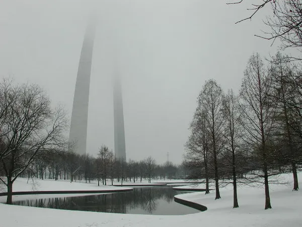
St. Louis residents are waking up to some of the harshest conditions of the winter season this morning, Friday, January 30, 2026. As a blast of arctic air continues to grip the Gateway City, early morning temperatures are hovering in the single digits, with thermometers reading approximately 9°F. However, the real story is the wind chill; with steady breezes moving through the metro area, it feels closer to -10°F. The city remains under a Level 4 Code Blue Shelter Protocol, which has been extended through today to protect the most vulnerable populations from these life-threatening temperatures.
Afternoon Skies and the Peak Temperature
While the sun may make brief appearances through mostly cloudy skies, do not expect much relief. The projected high for this afternoon is only 20°F. Even at this daily peak, conditions will remain dangerous for extended outdoor exposure. Light snow flurries are possible throughout the afternoon hours, with a 20% chance of accumulation, though most of the day will simply be characterized by gray skies and biting cold. If you must be outside during the midday hours, local officials recommend dressing in multiple layers and ensuring all skin is covered to prevent frostbite, which can occur in less than 30 minutes in these conditions.
Evening Outlook: Winter Storm Watch Commences
As the sun sets at approximately 5:21 PM, the weather situation is expected to take a more serious turn. Temperatures will plummet back toward a low of 2°F overnight. More importantly, the National Weather Service has issued a Winter Storm Watch for the St. Louis region, officially beginning late Friday night. This system is expected to bring significant snowfall to the area through the weekend, with early predictions suggesting 4 to 6 inches of accumulation possible by Sunday morning.
Safety Alerts and Weekend Preparation
With the combination of extreme cold and the incoming winter storm, the City Emergency Management Agency (CEMA) is urging residents to finalize their preparations before the snow begins to fall tonight. Key alerts for today include:
- Level 4 Code Blue: Emergency warming centers are open across the city.
- Winter Storm Watch: High confidence in accumulating snow starting late Friday night, potentially making travel very difficult.
- Cold Weather Advisory: Wind chills will remain below zero through the overnight hours.
As we transition into the weekend, stay tuned to local updates and avoid unnecessary travel as the storm system moves in. Keep your emergency kits ready and check on neighbors who may be at risk during this extreme cold event.