Biting Chill Grips the Gateway City: St. Louis Braces for a Frigid Wednesday
Winter’s Persistent Grip on the Gateway City
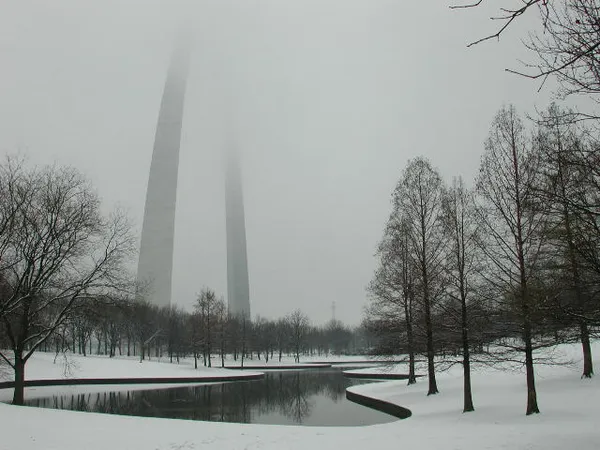
St. Louis residents waking up this Wednesday, February 4, 2026, will find that winter is far from over. Following a stretch of overcast and frigid conditions earlier in the week, a fresh surge of arctic air has settled over the metropolitan area. While no major snowstorms are expected to disrupt travel today, the primary story is the return of biting cold temperatures and a steady north wind that will keep the city shivering well below the freezing mark for the duration of the day.
Morning Forecast: A Sharp and Frosty Commute
The morning commute will be a test of endurance for those heading out early. Temperatures at daybreak sit at a bone-chilling 21°F. With winds coming out of the north at approximately 5 to 7 MPH, the effective wind chill will make it feel significantly colder, likely dipping into the low teens. Skies will remain mostly cloudy through the early hours, offering little relief from the sun. Drivers should remain cautious of any lingering icy patches on side streets or overpasses from previous light precipitation, as temperatures are far too low for natural melting to occur.
Afternoon Outlook: Stubborn Clouds and Peak Temperatures
By midday, the mercury will struggle to climb. The predicted high for Wednesday is capped at just 30°F, reached between 1:00 PM and 4:00 PM. The north wind is expected to intensify slightly in the afternoon, sustained at about 8 MPH. Despite the 0% to 10% chance of actual snowfall, the sky will likely remain overcast or mostly cloudy, trapping the cold air near the surface. The lack of solar heating means that even at the day's peak, the environment will feel stark and wintry.
Evening and Overnight: A Deep Freeze Returns
As the sun sets, temperatures will drop rapidly. By 7:00 PM, the thermometer will read approximately 26°F, sliding down to 21°F by 10:00 PM. Overnight, the sky is expected to stay cloudy, which may prevent temperatures from bottoming out into the single digits, but a low of 18°F is still anticipated by the early hours of Thursday morning. Residents are encouraged to take standard winter precautions:
- Dress in multiple layers, including a wind-resistant outer shell, to combat the steady north breeze.
- Ensure outdoor pets have adequate shelter and warmth, as these temperatures can be dangerous for prolonged exposure.
- Check on elderly neighbors to ensure heating systems are functioning correctly during this cold snap.
Looking ahead, while Wednesday remains locked in a deep freeze, early forecasts suggest a gradual warming trend toward the end of the work week, with temperatures potentially climbing back toward the 40s by Friday.