Arctic Shivers and Bright Skies: St. Louis Gripped by Dangerous Wind Chills
Morning: A Bitterly Cold Start
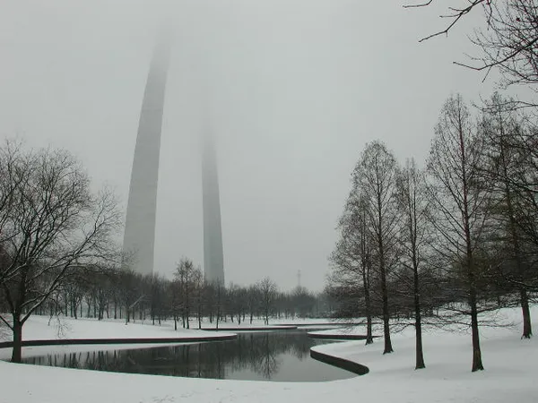
The city of St. Louis is waking up to some of the most punishing air of the season this Saturday, January 31, 2026. While the sky remains mostly clear with only periodic clouds, the lack of cloud cover has allowed temperatures to plummet. As of the early morning hours, the mercury sits at a mere 11°F, but the real danger lies in the wind. A reinforcing shot of Arctic air moving through the region has brought northwest winds that are pushing wind chill values down into the -5°F to -15°F range. Residents heading out after the 7:07 AM sunrise should be prepared for immediate stinging cold on any exposed skin.
Afternoon: Deceptive Sunshine
The afternoon forecast calls for plenty of bright sunshine, though it will provide very little in the way of actual warmth. The high temperature for the day is expected to peak at only 19°F. This extreme cold comes on the heels of the recent major winter storm that dropped nearly 9 inches of snow at Lambert International Airport last weekend. While the 0% chance of precipitation today is a welcome break for road crews, the ongoing State of Emergency declared by Mayor Cara Spencer remains in effect. City officials continue to urge caution, as the extreme cold can put significant stress on vehicle batteries and home heating systems. Humidity is expected to hover around 70%, keeping the air feeling dry and sharp.
Evening: The Deep Freeze Returns
As the sun sets at 5:22 PM, the thermometer will begin another rapid descent. Skies will remain clear throughout the night, which will facilitate further cooling. The overnight low is predicted to reach a bone-chilling 5°F. Given the steady breeze, the "feels like" temperatures will stay well below zero throughout the late-night hours. This sustained freeze means that any lingering slush or wet spots on secondary roads from previous snowmelt will likely turn into dangerous black ice by the evening commute.
Safety Guidelines and Alerts
- Wind Chill Warning: Dangerous wind chills between -5°F and -15°F are expected to persist through the morning. Limit time outdoors and dress in multiple layers.
- State of Emergency: The City of St. Louis remains under a local state of emergency through February 22 to ensure resources are available for cold-weather response.
- Pet Safety: With temperatures dropping to 5°F tonight, all pets should be brought indoors.
- Infrastructure: Be mindful of potential water main breaks, which are common during these sustained periods of sub-freezing temperatures.