A Slick Morning Start: St. Louis Braces for Freezing Rain and Plummeting Temps
Morning Commute Alert: Watch for Ice
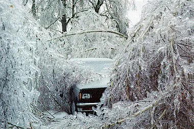
St. Louis residents are waking up to a gray and potentially hazardous start this Tuesday, February 3, 2026. Local meteorologists and regional news outlets have issued a specific alert for the morning hours, warning of a freezing rain risk that could impact the morning commute. With temperatures hovering right at the freezing mark—currently recorded at 31°F but feeling like a biting 25°F due to humidity and wind—any light precipitation that falls is likely to glaze untreated surfaces. Drivers are urged to exercise extreme caution on bridges and overpasses where black ice is most likely to form under these leaden, low-hanging clouds.
Midday Skies and Afternoon Conditions
As we move into the afternoon, the immediate threat of freezing rain is expected to diminish, though the sky will remain stubbornly mostly cloudy. The high for today is projected to reach only 35°F, barely climbing above the freezing point. A steady wind from the North at approximately 10 MPH will persist throughout the day, ensuring that even at the peak of the afternoon, it will feel significantly colder than the actual thermometer reading. While the chance of precipitation remains low at about 10% to 20% for the rest of the day, the dampness in the air and the lack of sunshine will make for a raw, wintry atmosphere across the Gateway City.
Evening Chill and Overnight Plunge
Once the sun sets at approximately 5:25 PM, the temperature is expected to take a sharp downward turn. While the clouds may begin to thin slightly, they won't be enough to trap any lingering daytime warmth. Forecasts indicate that temperatures will plummet into the mid-teens, with a projected low of 15°F to 18°F by early Wednesday morning. This significant drop means that any moisture remaining on the roads from the morning’s freezing rain or light snow showers will refreeze solidly, creating potentially slick conditions for the Wednesday morning start as well.
Today’s Weather at a Glance
- High Temperature: 35°F (2°C)
- Low Temperature: 15°F (-9°C)
- Winds: North at 10 MPH
- Precipitation: 20% chance, primarily freezing rain or light snow in the morning hours.
- Humidity: High, around 73% to 80%.
Residents are advised to bundle up in heavy winter gear if heading outdoors this evening and to ensure that pets are brought inside as the mercury drops well below freezing. Stay tuned to local updates for any changes in the ice risk as the system moves through the region.