A Gateway to Winter's Grip: St. Louis Braces for Snow and Sub-Zero Chills
Arctic Storm Forces State of Emergency in St. Louis
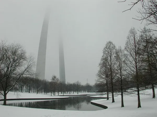
St. Louis is currently in the crosshairs of a major winter weather event as Saturday, January 24, 2026, marks the arrival of a significant Arctic system. A Winter Storm Warning and a Cold Weather Advisory are in full effect across the metropolitan area. Conditions have become so severe that Governor Mike Kehoe has declared a state of emergency for Missouri, while city officials have activated emergency protocols to handle the heavy snowfall and dangerously low temperatures that have gripped the region.
Morning: The Arctic Arrival
The day began with a brutal blast of Arctic air, with morning temperatures hovering near 4°F. While the sun was hidden behind a thick overcast sky, the real danger was the wind chill, which plummeted to between -10°F and -20°F due to steady northeast winds. Light snow began to develop around 8:00 a.m., gradually increasing in intensity by 10:00 a.m. Residents are reporting slick conditions on side streets and overpasses, as the intense cold causes even light precipitation to freeze instantly on contact.
Afternoon: Accumulating Snow and Blowing Drifts
As we move into the afternoon, temperatures will struggle to reach a high of 12°F. The first wave of this two-part storm is expected to deposit 1 to 3 inches of dry, fluffy snow across the St. Louis area by sunset. While the snowfall rate remains moderate, northeast winds of 10 to 12 mph, with gusts reaching 20 mph, are creating blowing snow and reduced visibility. The St. Louis Streets Department has deployed its full fleet to treat the 450 miles of designated snow routes, but travel is already being discouraged. Notable closures include the Soulard Farmers Market, which has suspended operations for the day due to the extreme weather.
Evening and Overnight: The Heavy Hit
The weather is expected to take a more perilous turn late tonight. Meteorologists predict a second, more powerful wave of snow will begin after 10:00 p.m. This round is expected to bring heavy accumulations, with an additional 3 to 5 inches possible before Sunday morning. Temperatures will remain steady near 10°F, but the continued wind chill values will make it feel as low as -15°F. City agencies have opened additional crisis cold weather shelters to assist vulnerable residents as the Gateway City prepares for a total weekend accumulation that could reach 6 to 10 inches.
Winter Warnings and Safety Notices
- Winter Storm Warning: In effect until noon Sunday for St. Louis and surrounding counties south of I-70.
- Wind and Temperature: Wind chills will remain in the negatives throughout the night; frostbite can occur on exposed skin in as little as 30 minutes.
- Travel Advisory: The Missouri Department of Transportation urges residents to stay off the roads to allow plows to work.
- Shelter Information: Additional emergency beds and warming centers are now open across the city.